Day 2 – 4/29/18
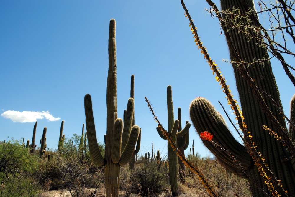
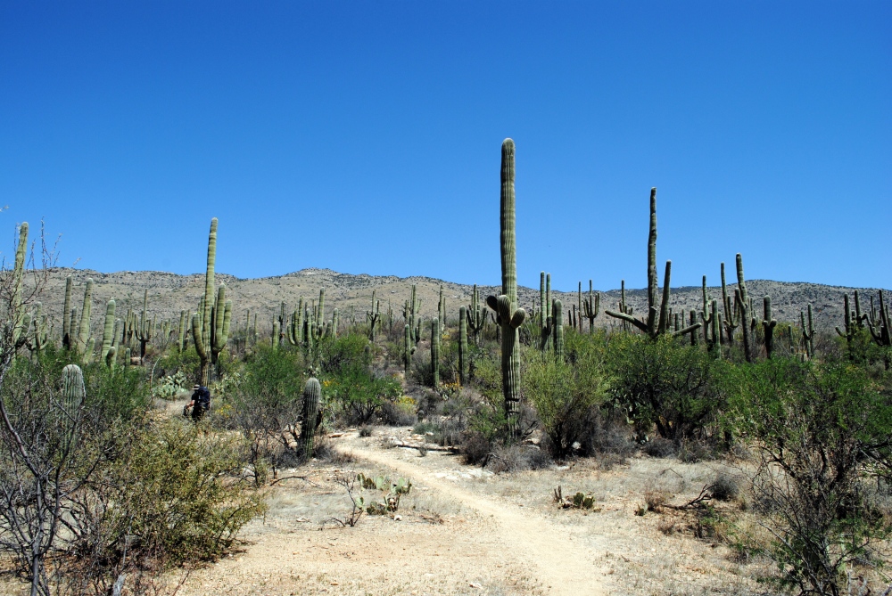
Saguaro National Park To redington Road
24.6 Miles
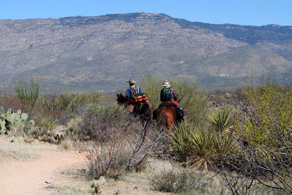
This was a tough, long day. We hiked 17.1 miles from Grass Shack to Redington Road.
I had been awake since 2AM that morning. I didn’t get much sleep because my shoulder, back, and neck hurt so bad I couldn’t get comfortable, even on that nice, soft ground of dead leaves and grass. We got up around 4AM. Chris immediately filtered water and refilled camelbaks and bottle. I was moving slow. We packed up, ate breakfast, and we shared the bottle of water. We left camp just a little before 6AM. It was only 4.6 miles to Manning Camp from Grass shack, but it took us a little over three hours to get there. It’s slow going for uphill hiking.
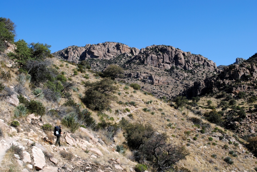
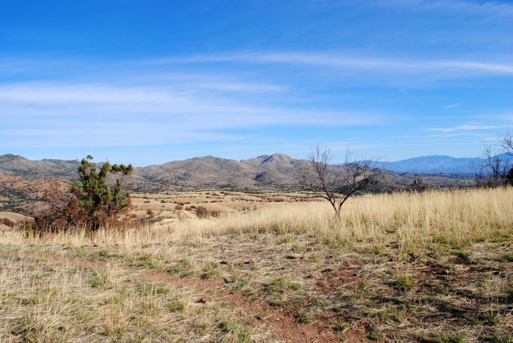
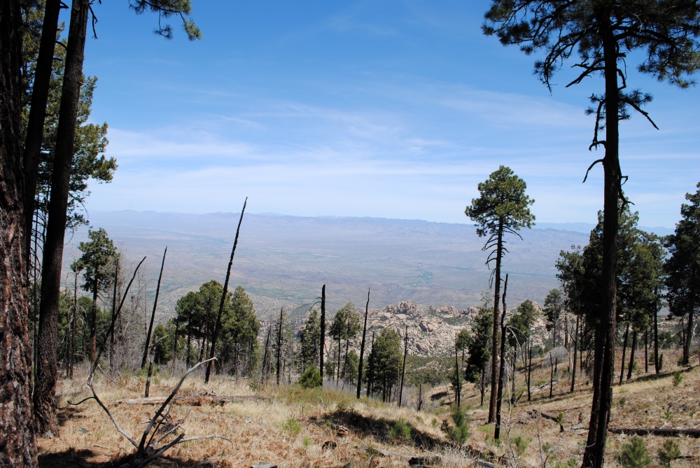
Hiking in the cool morning air was a relief since we had the rest of that difficult climb to the top of Mica Mountain. There were beautiful views hiking to the top. Mt. Wrightson looked so far away at that point. You go through more manzanitas and oak, and then curve around to where you are circumventing Rincon Peak. The trail takes you up to a crest where you are traversing more slabs of granite marked with cairns. To your left is a gorge that is mostly bearded with vegetation with the exception of a few exposed, bald granite boulders stained with water drainage marks.
We saw bear tracks in the middle of the trail that morning. Wasn’t sure what I was looking at when I first saw them. Thought maybe they were really big mountain lion tracks, or bear. I looked them up after I got home and confirmed they were definitely Black Bear tracks. It was really cool to see, but also unnerving that the tracks were heading towards Grass Shack. Curious little guy was probably on his way to check out the smelly hikers in the middle of the night.

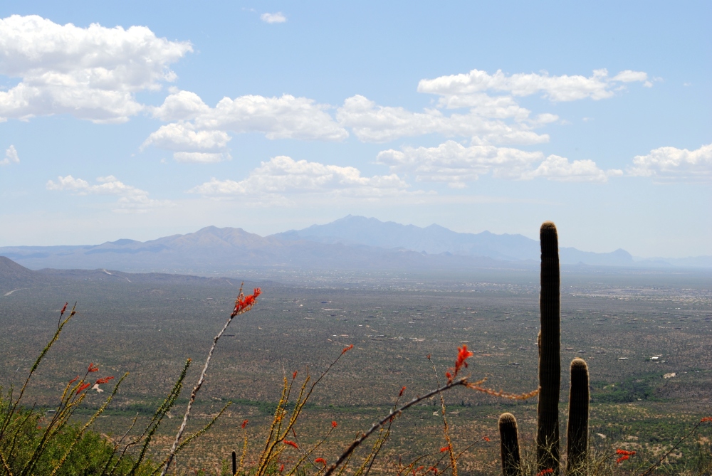
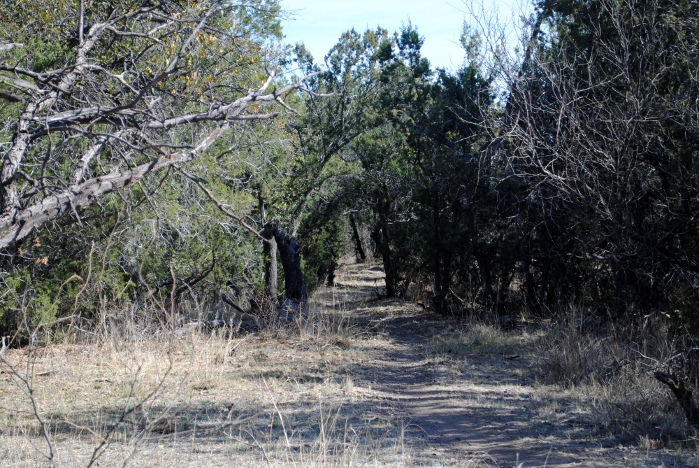
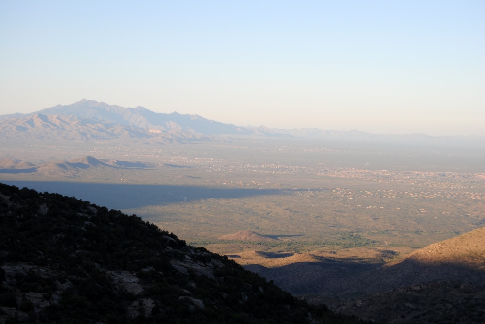
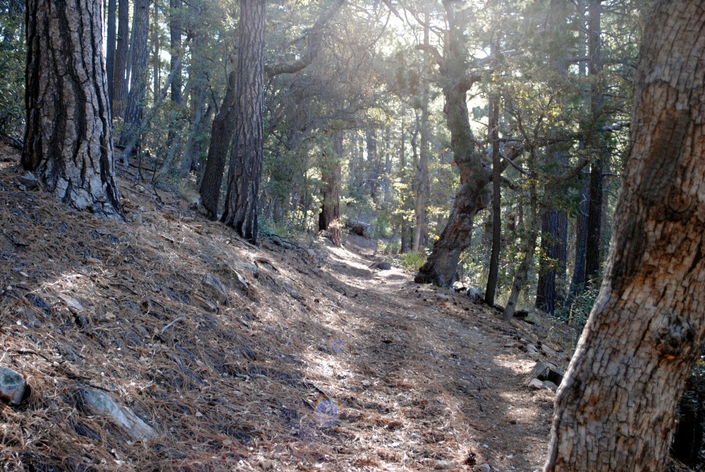
Not long after this we were in pine forest. There is something about hiking through a forest of trees that feels so awesome. It might be the cool shade, or the crunch of dry pine needles under your boots. Either way, we were getting very close to Manning Camp. We passed Devil’s Bathtub Trail junction and reached a clear point where we could see out south. We were as high as Rincon Peak, now to the south of us, and could barely make out any of the buildings and roads of Vail. Not long after, about 9AM, we made it to Manning Camp.
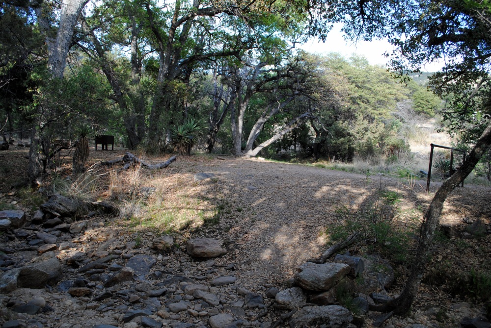
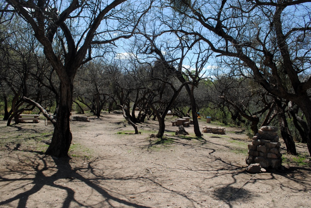
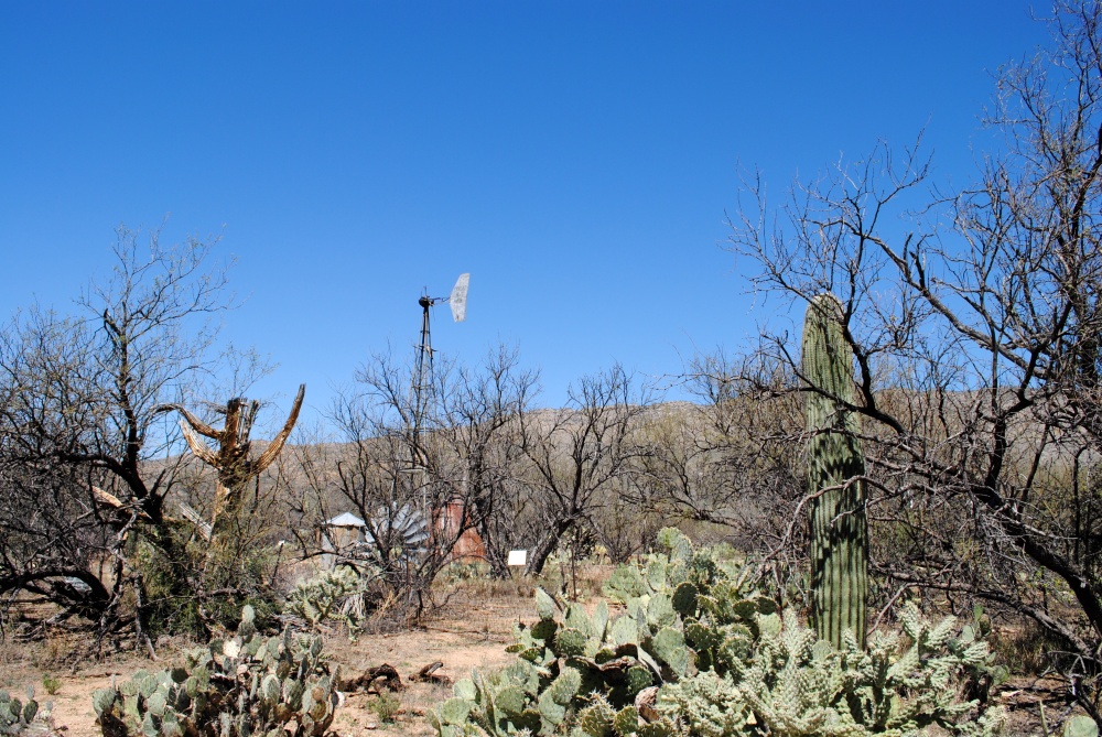
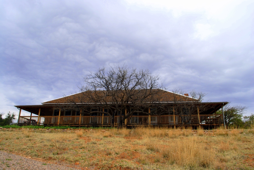
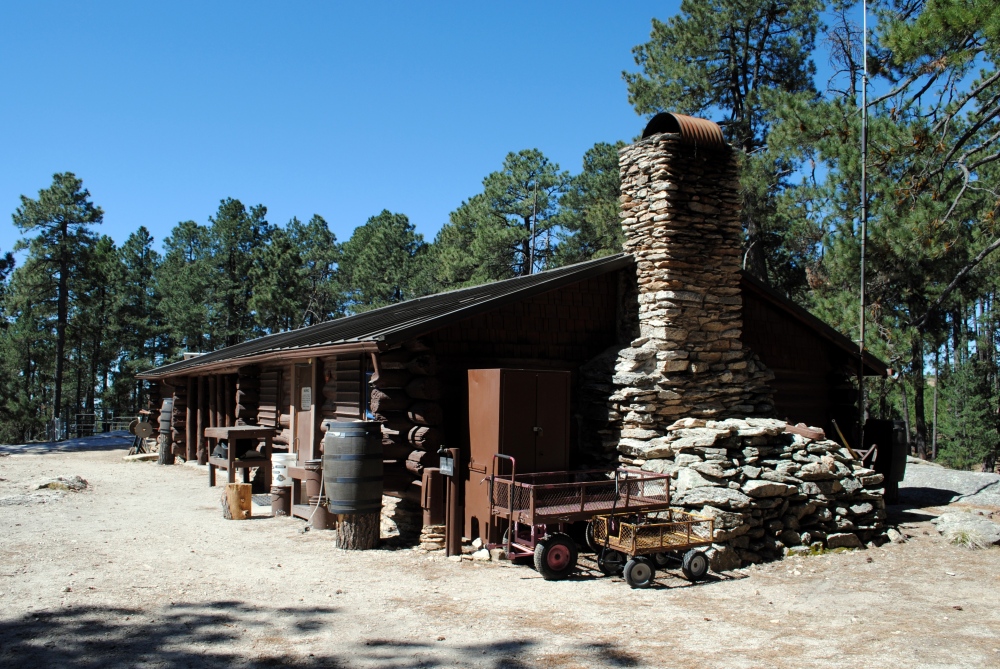
Manning was such a beautiful campsite. Corals for the horses. Yurts. Outside showers. Water barrels. A fire circle and plenty of firewood. A ranger station with tools and supplies. A babbling brook within earshot. Grass Shack was cool and everything, just wished we had made it to Manning.
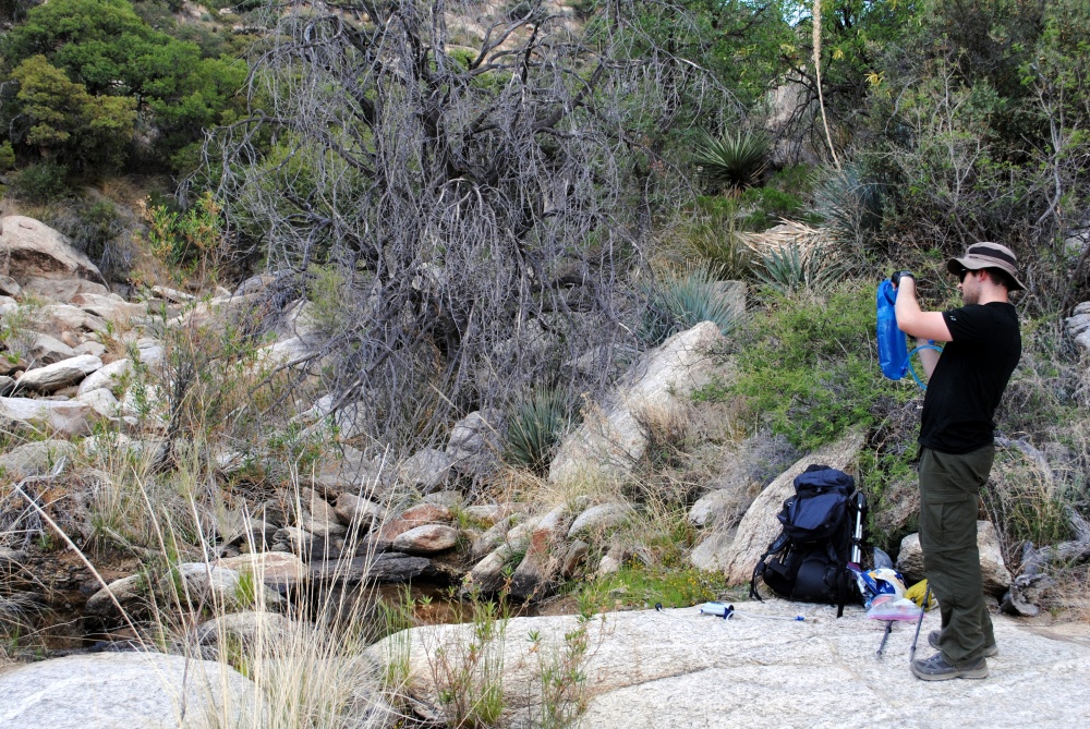
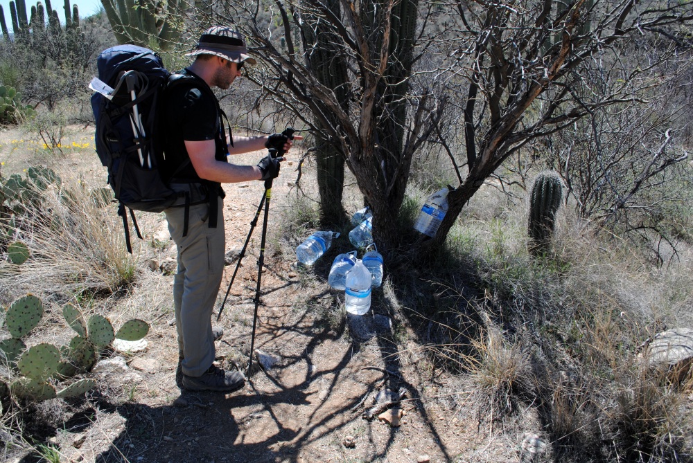
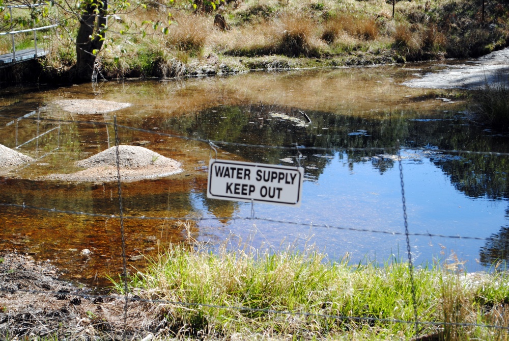
Although there were barrels of water with spigots, the water still needed to be filtered. We filled the water into a bottle and then filtered the water from the bottle directly into the camelbak bladder. Water on this trip has been a process, but something you just need to do. We each had two liters left in our bladders, so only needed one bottle each.
I walked around and took pictures, then we ate lunch at the table under the porch of the ranger station. Although, it wasn’t a porch. It was a roofed, open space between two rooms of the station. Atrium comes to mind, but that’s not the right word. After lunch, we geared up and carried on. We needed to make it to our caches at Redington road, as the chances of finding any water between Manning and there was slim to none. It was about 11AM, so we were making pretty good time.
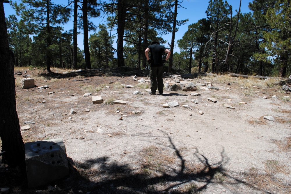
It wasn’t long until we made it to the high point of the trail. It was a junction of other trails, one of them leading .1 mile to the summit of Mica Mountain. We sat here at this junction for a moment, then decided we might as well go summit the mountain since we were so close. I kept hearing my brother’s voice in the back of my head. “Why would you climb all the way up this mountain and not summit?” Except his language would be far more crass and emasculating. So we left our packs at the junction and walked the .1 mile to the top. There was a small clearing at the top with the remains of old concrete posts where a lookout tower once stood. The views were limited because of the tall trees crowning the peak. We could definitely see the formica in the rocks reflecting from the sun up here.
We went back to the junction, grabbed our stuff then started our descent from Mica Mountain. It was a very steep decline off the north side of the mountain and very hard on the feet and legs. What took us a day and a half to summit only took us about three hours to descent. I slipped and fell at one point. My footing slipped out from under me and my leg got twisted underneath my weight as I rolled into a bush that kept me from going over the edge. Luckily I did not get hurt, break, or lose anything. Just felt a little silly for falling.
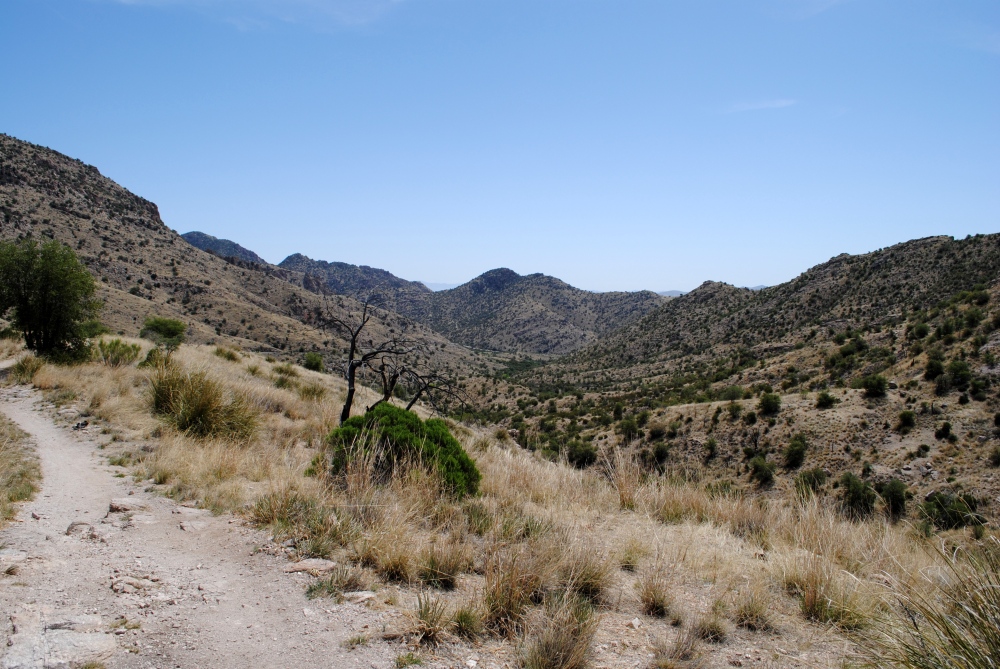
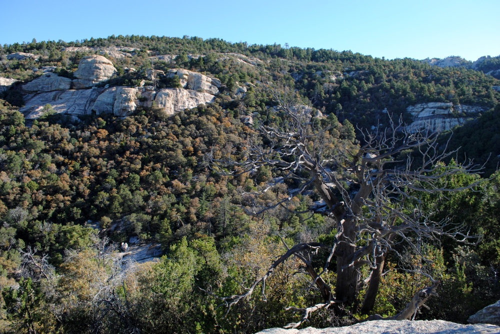
There was much more visibility on the north slope, either from previous fires, or wind blown trees, or disease. Whatever it was, the trees on this side were nearly bare, which gave us much more visibility to the north and east. There were a few heavily vegetative areas, mostly from oak and mesquites, as we descended, but those thinned out the further we dropped in elevation.
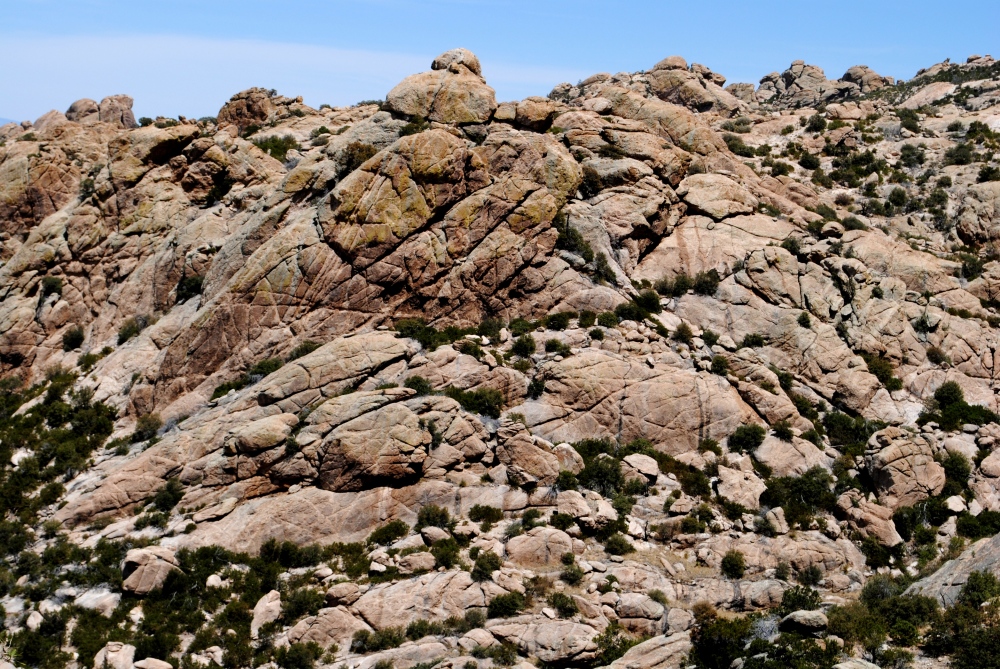
Getting past the steep decline and outside the park boundaries did not take long at all. Eventually, the grade lessened and the trail brought us to an area of large exposed boulders and hoodoos that had lines and cracks crisscrossing their surface, like some giant, mythical creature scored them with its claws. These geological formations are called banded gneiss, which you would typically see in smaller rocks, except this was on a much larger scale.
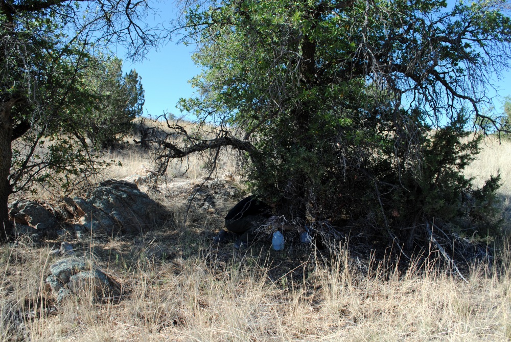
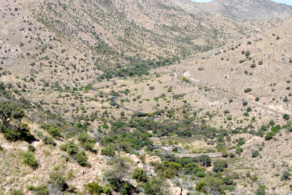
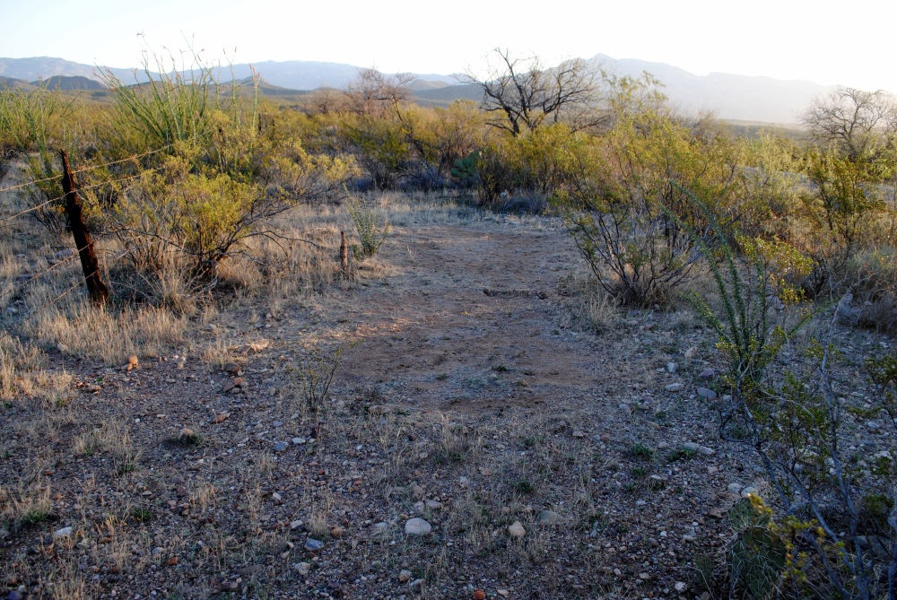
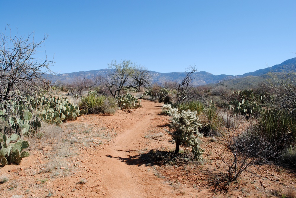
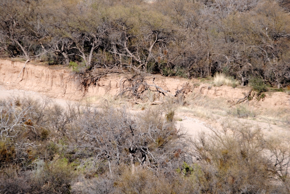
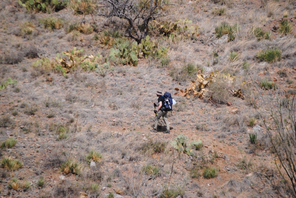
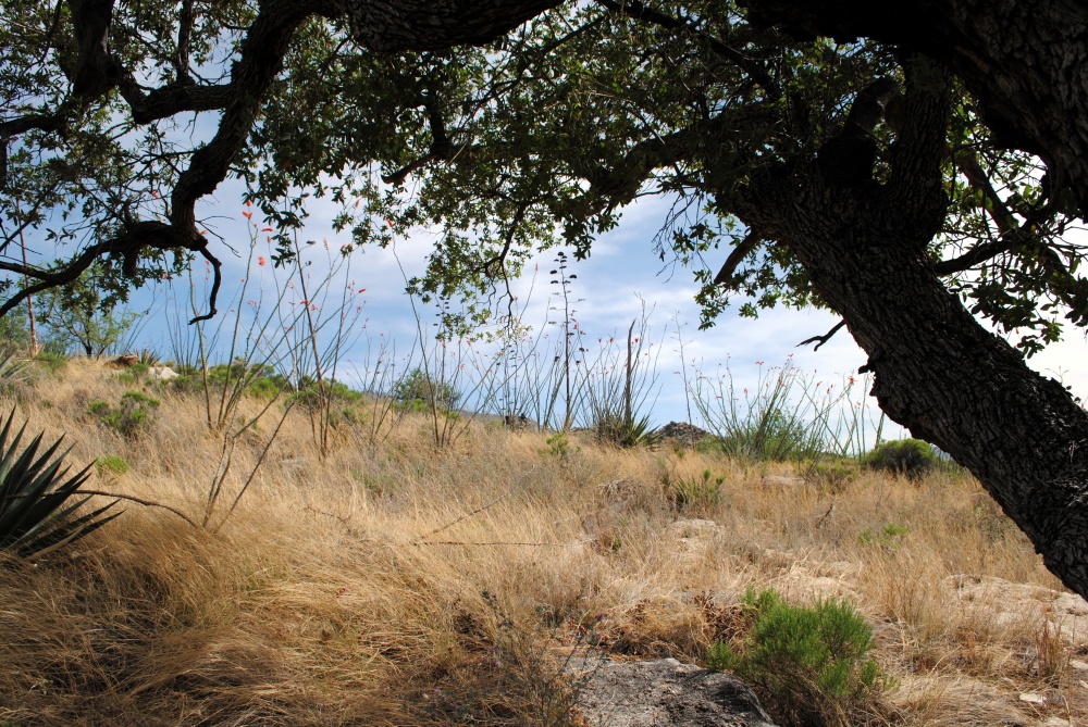
Once we were out of that boulder area, the trail dropped us into grassy hills that looked like the hills we traversed in the Santa Rita Mountains. We were getting tired and slowing down. We knew we were close to Redington Road, but it seemed like the trail was getting longer the closer we got to our destination. We took a break underneath a shady mesquite tree surrounded by ocotillos until we mustered up the energy to get going again. After that, it wasn’t long until we made it to Italian Trap Trailhead that crossed a dirt road/dry creek bed that had plenty of 4 wheel drive tracks.
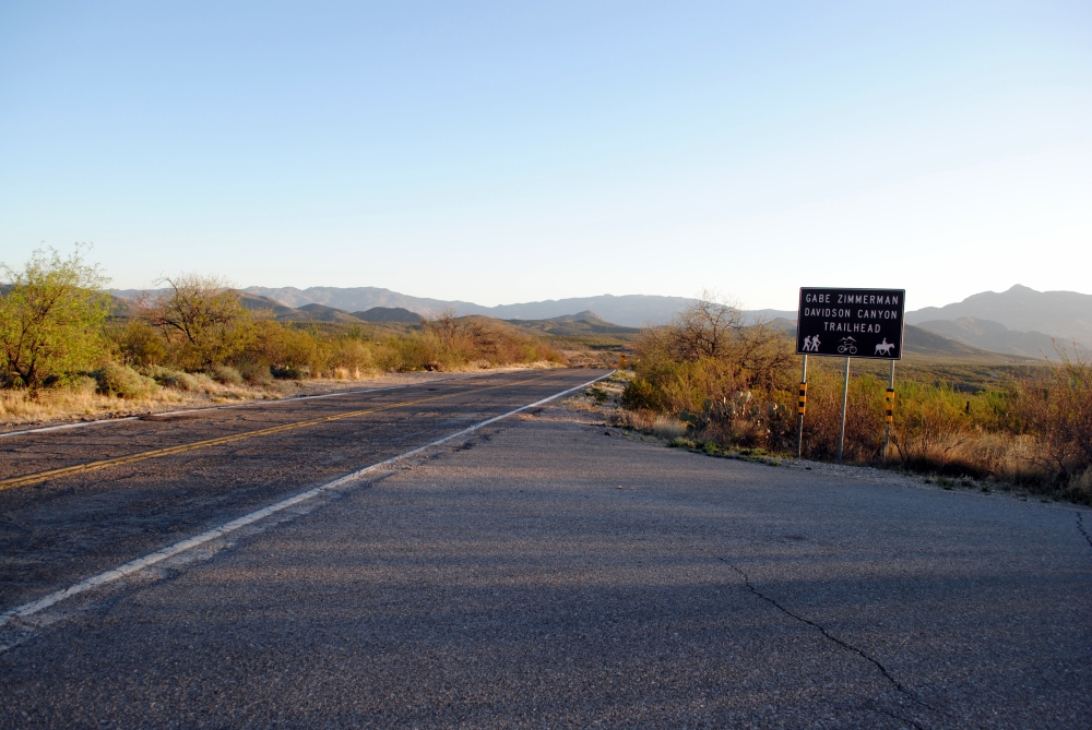
The AZT app and the Arizona Trail book both say that Italian Trap is the end of Passage 9, but the ATA website says Redington Road is the end of the passage. I just went with what the website said. So, with that said, We were not yet done with this passage. There was another 2.2 miles to Redington Road through meandering hills with a steady, but low grade climb. I hadn’t drank enough water the day before and felt kind of dehydrated, so I made sure to drink a lot since we last refilled at Manning. I drank all of my water about half a mile from Redington Road.
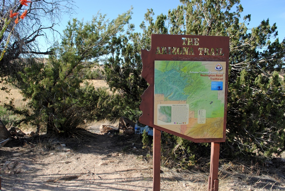
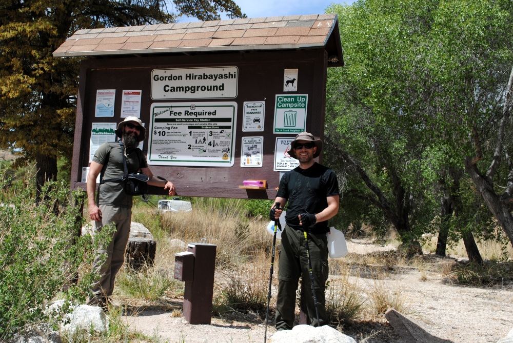
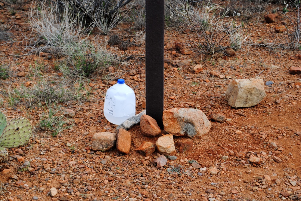
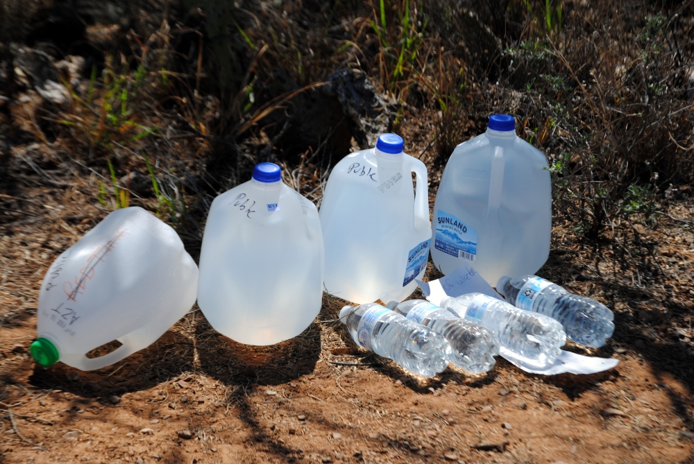
When we finally made it there, I was so glad to see the gallons we left were still there under a juniper behind the large, steel AZT sign. We dropped our gear and sat down in the shade of the tree and I drank about half a gallon as we rested. My feet hurt so bad. I didn’t even bother getting out my folding stool. Just sat in the dirt like an animal. We hiked about 17 miles that day and were so tired we started coming up with a shameful plan of quitting. Of maybe asking someone driving along Redington Road for a ride back to Chris’ car at Gordon Hirabayashi.
The guy I talked to the day before back at Grass Shack said he was parked here at this trailhead. There were indeed two vehicles parked there. We even tried convincing ourselves of asking them for a ride when they caught up to us. However, after sitting and resting and rehydrating we decided to stick it out and finish strong the next morning. Afterall, Passage 10 is a much shorter stretch.
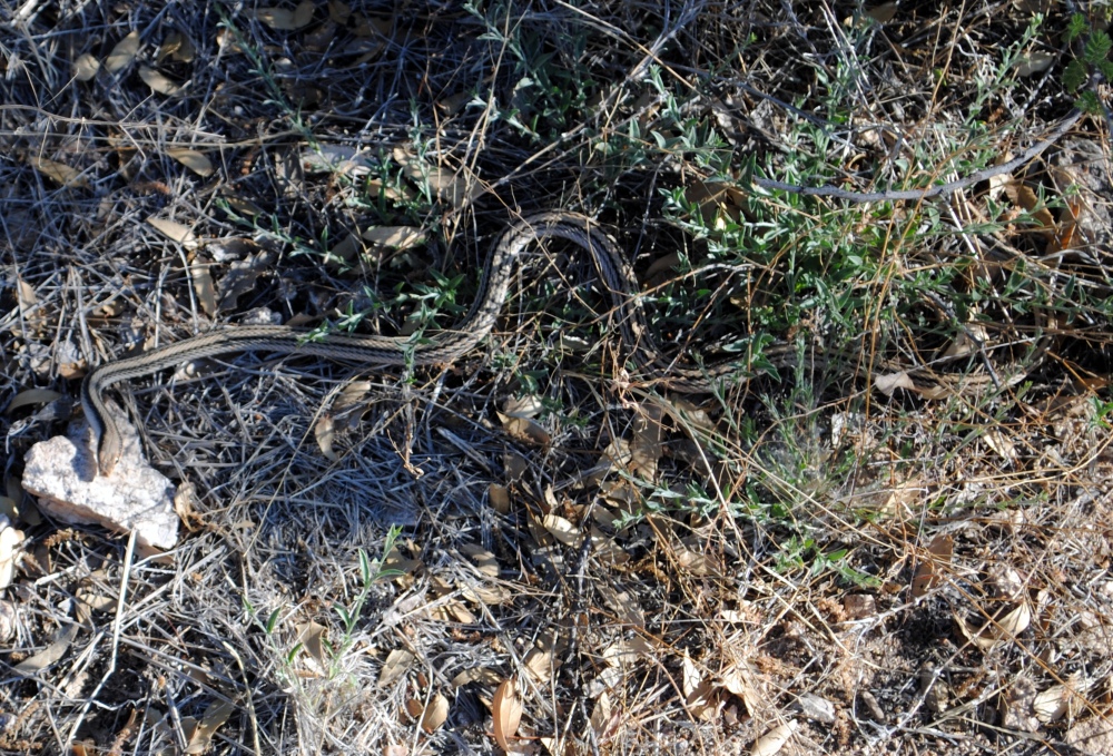
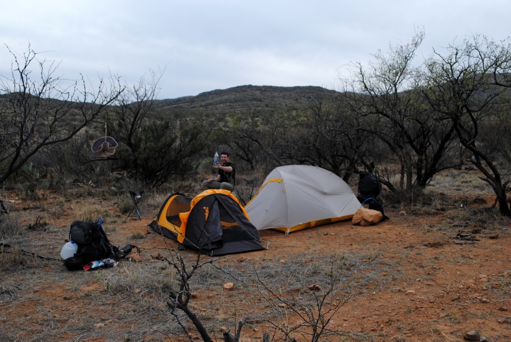
We found a good spot to set up our tents across the road between some trees. We set up camp, and I walked back across the road to claim our other two gallons we hid away from the AZT sign. As I was retrieving these, the group of four from Grass Shack was just getting to their truck. I spoke with them a little and we swapped stories. His name was John and he was there with his wife, son, and son’s girlfriend. They showed me a video of the fat rattlesnake they saw on the trail, as well as a Gila Monster. I have to admit I was a little jealous. I’ve lived in Arizona most of my life and have hundreds of miles under my feet of backcountry hiking and hunting and have never seen a Gila Monster.
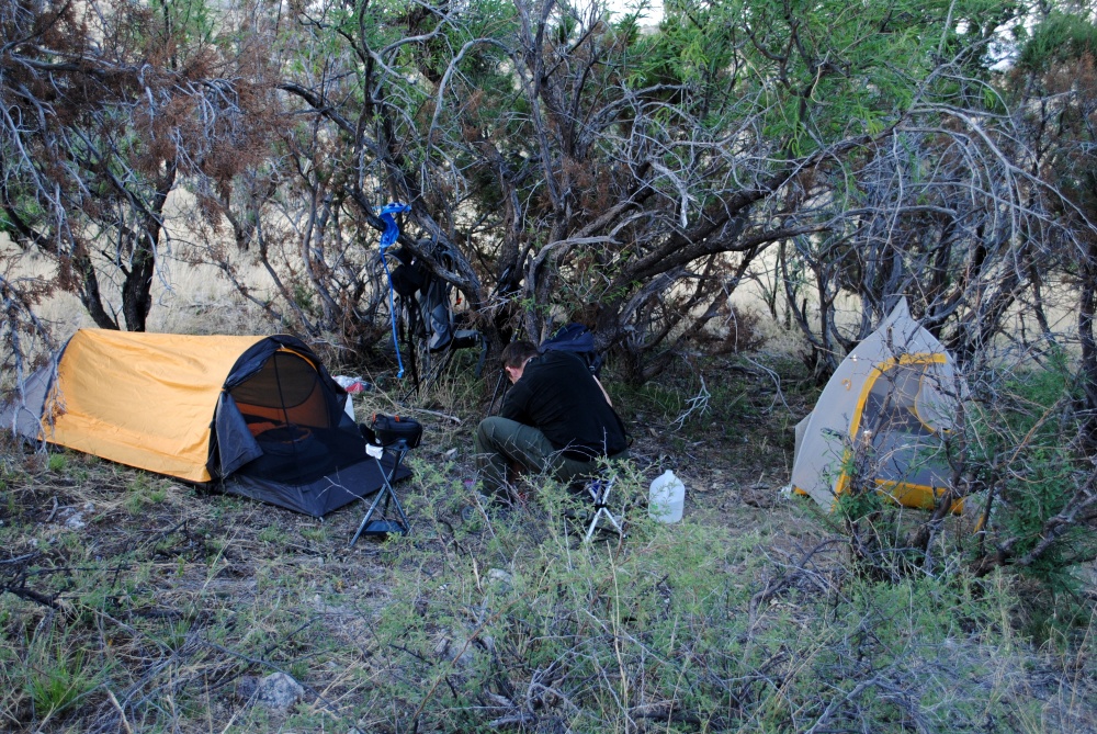
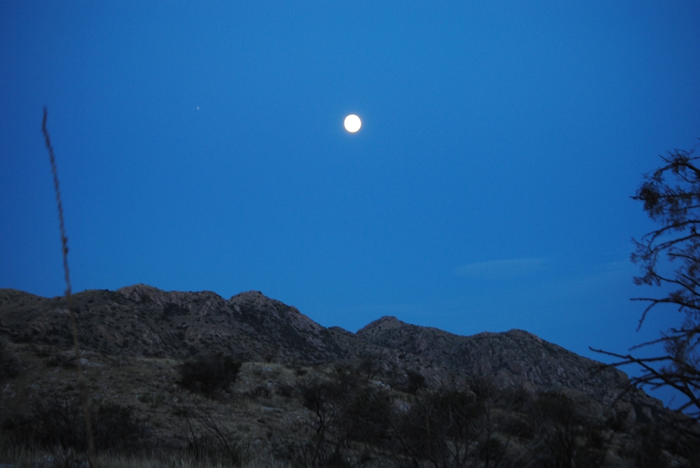
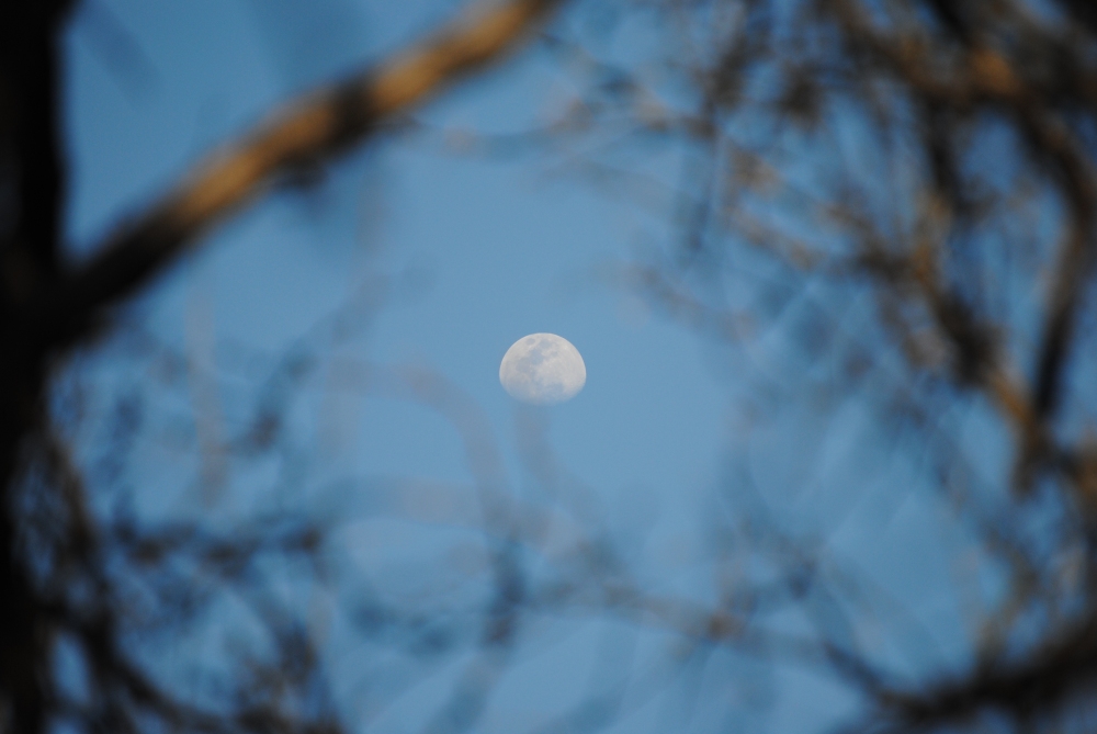
John and his group threw their gear into the back of their truck and got situated to drive back to Tucson for the night and finish the next passage in the morning. I went back to our camp spot and Chris and I settled in for dinner. Earlier, I was feeling a little sick when we finished this passage. Thought maybe, in the back of my head, that it was from the water we filtered, but really it was probably I was dehydrated and famished. I had the chicken and rice Mountain House packet for dinner and felt much better after that. The moon was full and the wind was dying down. I set my alarm for 2:30AM. We decided we were going to get a really early start to the next day and went to sleep.